In the heart of Istanbul’s Topkapi Palace lies a map that has baffled historians, cartographers, and conspiracy theorists for nearly a century. Drawn in 1513 by Ottoman admiral and cartographer Piri Reis, this map presents a stunning enigma—showing parts of the world that, supposedly, weren’t discovered yet. How could a 16th-century sailor possess such accurate knowledge of geography that would only be confirmed centuries later?
Let’s dive into the history, controversy, and ongoing mysteries surrounding the Piri Reis map—an artifact that has challenged our understanding of history and exploration.
Who Was Piri Reis?
Piri Reis, full name Muhiddin Piri, was a celebrated Ottoman admiral and geographer. Born around 1465, he spent much of his early life sailing under the tutelage of his uncle Kemal Reis, a famed privateer turned naval commander. Piri eventually compiled his knowledge of navigation and geography into a book called Kitab-ı Bahriye (Book of Navigation), and in 1513, he created a world map unlike any other.
What makes the Piri Reis map truly remarkable is that it was compiled using 20 source maps—including Arabic, Portuguese, and even maps attributed to Christopher Columbus. But it was what he managed to depict on the map that captured modern imaginations.
The Contents of the Map
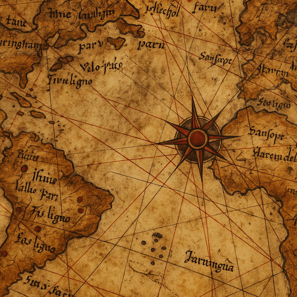
Only a third of the original world map survives today, drawn on a gazelle-skin parchment. It focuses on the western coasts of Europe and North Africa, as well as the eastern coast of South America. But what stunned researchers in the 20th century was its apparent depiction of Antarctica—almost 300 years before its “official” discovery.
Here are some notable features:
- Accurate South American Coastline: The contours are more accurate than many maps produced even 200 years later.
- Antarctica Without Ice?: The lower portion of the map seems to depict an ice-free version of Antarctica’s Queen Maud Land.
- Longitude Precision: Despite longitude not being accurately measurable in the 1500s, the map gets several longitudes surprisingly correct.
The Antarctica Controversy
In the 1960s, Charles Hapgood, a professor of history, brought the Piri Reis map into the public spotlight. He theorized that the map was based on ancient documents created by a highly advanced civilization—possibly one that existed before recorded history.
According to Hapgood:
- The map shows Antarctica without its ice cap.
- The level of detail could only be achieved from aerial or satellite views.
- It suggested that an ancient seafaring society may have mapped the continent thousands of years ago.
This led to a flurry of theories connecting the map to:
- The Atlantean civilization
- Aliens or time travelers
- Lost pre-Ice Age societies
However, modern geographers remain skeptical.
Scientific and Historical Skepticism
Many scholars argue that what’s believed to be Antarctica may simply be a misinterpreted rendering of South America’s southern coastline or artistic license. Moreover, historical records suggest that the map was a patchwork of various medieval charts, each with differing accuracy.
Mainstream explanations include:
- The curved southern landmass is actually Terra Australis Incognita, a mythical southern continent believed to balance the Earth.
- The accuracy may have been improved by Piri Reis’s own naval experience and corrections made during later redrawings.
Ancient Source Maps: Do They Exist?
Piri Reis himself wrote in the margins of the map that it was compiled using maps dating back to Alexander the Great’s time. Whether these maps existed or were based on oral traditions, ancient scrolls, or travelers’ stories is unknown.
Some believe ancient Phoenicians or Egyptians may have created early global maps lost to time. Others think the Library of Alexandria may have housed advanced geographical knowledge that was later destroyed.
The Map in Pop Culture and Conspiracy
The Piri Reis map has made its way into dozens of books, documentaries, and online rabbit holes. It is often linked with:
- Ancient astronaut theories
- Atlantis lore
- Secret Vatican archives
- Suppressed history by colonial powers
While many claims lack solid evidence, the map remains a powerful symbol of how much of our past may still be a mystery.
A Tool for Rethinking History
Even if the more fantastic theories are dismissed, the Piri Reis map still represents:
- The global nature of early exploration
- The cross-cultural sharing of cartographic knowledge
- The human desire to understand and document the world
It encourages modern historians and explorers to question: What other ancient knowledge have we lost? How did early civilizations perceive the world? And how much more is still hidden?
Final Thoughts
Whether the Piri Reis map truly depicts ancient Antarctica or simply reflects the best knowledge of its time, one thing is certain: it continues to inspire awe and curiosity. It stands as a testament to human ingenuity and the enduring mysteries of our world.
Perhaps more maps like it are still out there, waiting to be discovered.
For more posts like this visit TimePinned.